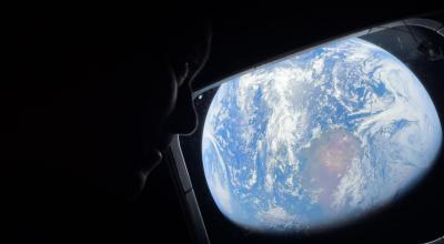
What can satellites in space tell us about our changing planet?
For Dr Anna Riddell, that question became the foundation of an exciting career.
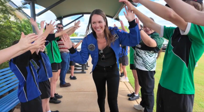
Inspired by a school presentation, she turned her love of problem-solving, travel and the outdoors into a career exploring our planet.
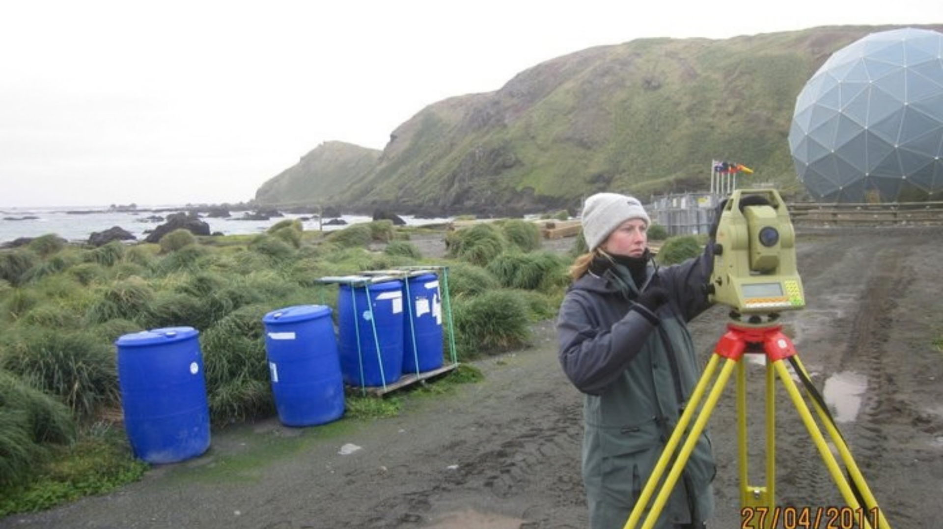
Her studies took her to Macquarie Island and introduced her to geodesy, a science that uses space-enabled technology to measure Earth and understand how it changes.
Looking to space to understand Earth
Since joining Geoscience Australia’s graduate program, Anna has installed geodetic infrastructure nationwide, helped define Australia’s latitude, longitude and height reference systems, and strengthened positioning services Australians depend on.
Today, she leads the GNSS Analysis Team within Positioning Australia, using satellite data to understand Earth’s movement and improve positioning accuracy.
Anna’s journey shows how curiosity can become a career with impact, while space technology and partnerships help Australia see Earth differently.
To mark Earth Science Week 2026, Anna shares in this feature how looking to space helps us better understand, protect and navigate the place we call home.
What is Earth Science Week, and how can it help Australians understand the importance of Earth science in everyday life?
Earth Science Week is an exciting celebration that highlights how Earth science shapes our everyday lives, from the water we drink and the food we grow, to the technologies we rely on.
Geoscience Australia promotes the week to help Australians better understand how Earth science supports agriculture, water management, natural hazard preparedness, mining, infrastructure and environmental monitoring.
For both city and regional communities, it provides an opportunity to connect scientific knowledge with real-world decisions, showing how Earth observations and precise positioning help build a safer, more sustainable and resilient Australia.
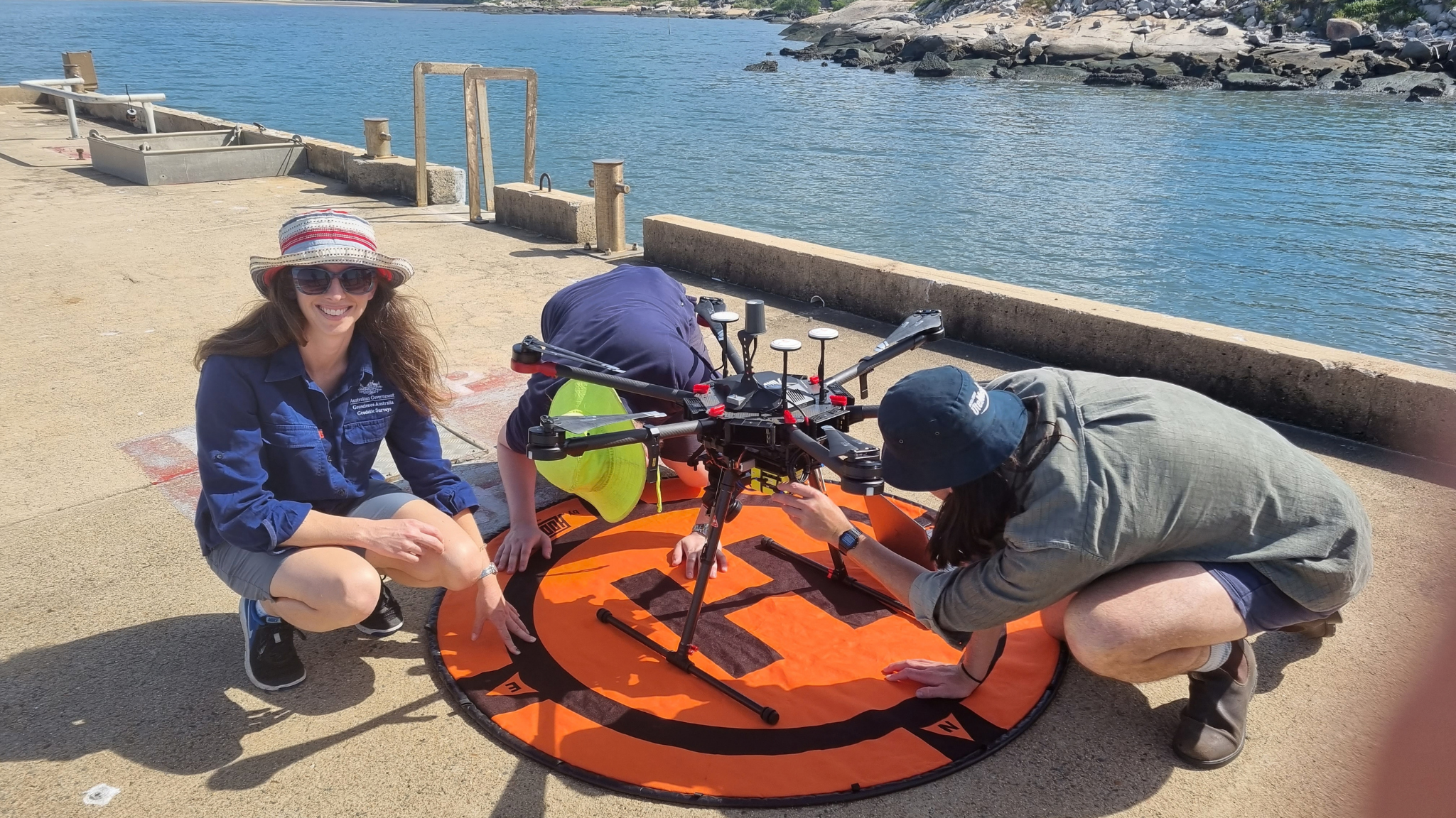
Earth observation is sometimes described as giving our planet a regular health check.
What can satellites tell us about Australia that we may not be able to see from the ground, and why is monitoring change over time so important?
Space-based observations give us a bird’s-eye view of Australia that we simply cannot get from the ground.
They can monitor things like drought conditions, water levels in rivers and dams, bushfire recovery, coastal erosion and changes in land use across the entire continent, including remote areas that are difficult to access.
Looking at these changes over months and years helps us spot trends early and make better decisions, whether that’s helping farmers manage crops, preparing communities for floods, or protecting infrastructure.
When combined with satellite navigation and precise positioning technologies, such as those supported by Geoscience Australia and AuScope, we can also measure tiny movements of the Earth’s surface, down to just a few millimetres.
This information supports everything from natural hazard monitoring and scientific research to the positioning services people rely on every day for transport, construction, agriculture and emergency response.
Together, these technologies help Australians better understand and manage our changing environment.
How does Geodesy provide the ‘hidden infrastructure’ that our community relies upon? Can you share an example?
Geodesy is the hidden infrastructure that tells us exactly where things are on Earth and how they move over time. Most Australians use it every day without realising it.
It underpins GPS navigation in our phones and cars, supports surveying and construction projects, and helps emergency services respond more effectively.
For example, geodetic networks allow farmers to guide machinery with centimetre-level accuracy, reducing fuel, fertiliser and water use.
They also help scientists monitor tiny movements in the Earth’s crust, improving our understanding of earthquakes and other natural hazards. Together, geodesy provides the reliable positioning framework that modern society depends on.
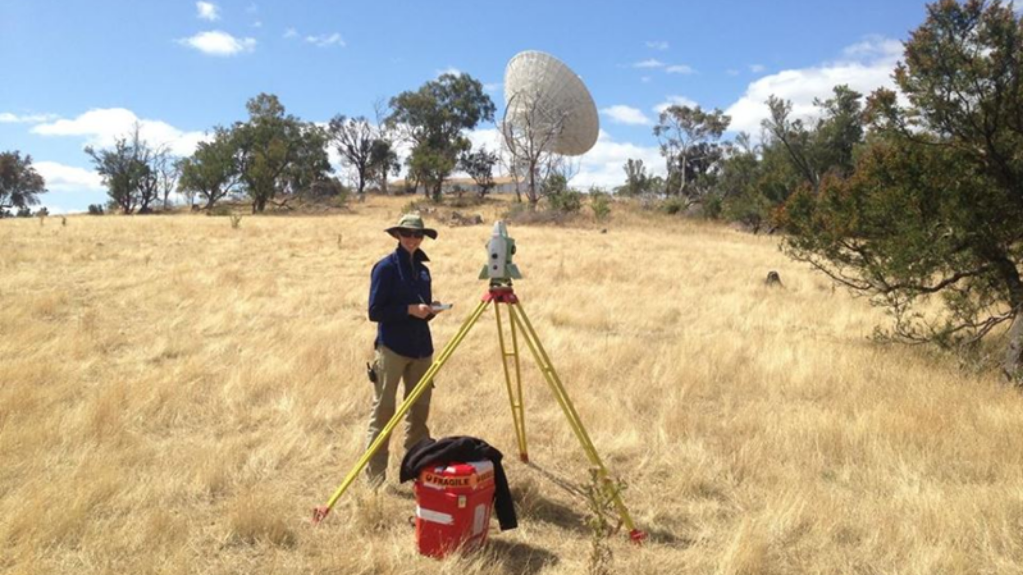
Geoscience Australia plays a key role in the United Nations Global Geodetic Centre of Excellence as a partner organisation, and within the International Association of Geodesy as the International GNSS Service Analysis Centre Coordinator.
What do they mean for Australia to have such enduring scientific relation with the US and Europe?
Australia’s long-standing partnerships with leading scientific organisations in the United States, Europe and United Nations, ensure we remain connected to the global systems that underpin everything from satellite positioning to Earth observation and hazard monitoring.
Through international collaborations such as the International Global Navigation Satellite Systems Service and global geodesy initiatives, Geoscience Australia contributes Australian expertise while gaining access to world-class research, data and technology.
These relationships strengthen Australia’s national capabilities by helping us improve the accuracy and reliability of positioning services, better monitor environmental and geological change, and build resilience to natural hazards.
They also create opportunities for Australian scientists and institutions to lead international projects, influence global standards, and ensure Australia’s unique geographic location continues to play a vital role in global Earth monitoring networks.
Ultimately, these enduring partnerships help Australia turn global science into practical benefits for industry, government and communities at home.
How can First Nations knowledge and space-derived information be respectfully brought together to improve our understanding and care of Country?
First Nations knowledge and Earth science are most powerful when brought together through genuine partnerships and shared decision-making. Indigenous communities hold generations of knowledge about seasonal change, water, fire and ecosystems, and when augmented with satellite data provides a broader view of how landscapes and environments are changing over time.
A practical example is Indigenous land and sea management programs using satellite imagery alongside Traditional Knowledge to monitor vegetation, water resources and fire impacts, helping communities make informed decisions about caring for Country.
Geoscience Australia also has engaged with First Nations communities through co-designed approaches to environmental monitoring and Earth science. A representative example is Ginan, Geoscience Australia’s GNSS analysis software, named after a star in Wardaman astronomy.
The name recognises Australia’s rich Indigenous astronomical traditions and highlights how Indigenous knowledge systems can complement by building a deeper understanding of our changing planet.
Which opportunities at the intersection of space and Earth science would you encourage young Australians to explore?
I’d encourage young Australians to explore the growing intersection of space, Earth science and data science.
Subjects like mathematics, physics, geography, engineering and computer science provide a strong foundation, but curiosity and problem-solving are just as important.
Today, satellite data and positioning technologies are helping tackle challenges such as natural hazards, environmental change and sustainable resource management.
Whether through coding, fieldwork or citizen science projects, there are many pathways into careers that use space technology to deliver real benefits for communities, industry and the environment.

Why space matters
Learn about some of the practical, and seamless, ways space technologies is helping us protect Australia's way of life.
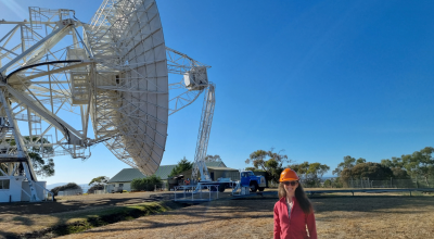
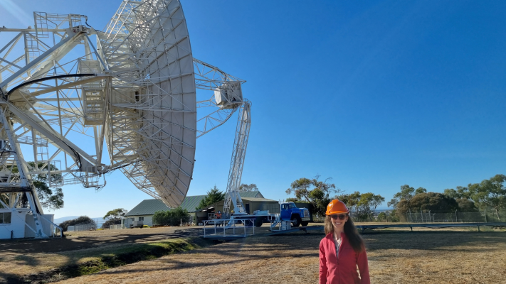
Main image caption: Anna Riddell Supervising maintenance of the 26-metre radio telescope at the Mt Pleasant Observatory, Hobart.
Credit: Lucia McCallum, University of Tasmania